Key Takeaways
- Cape Agulhas is the real tip. The southernmost point of the entire African continent is Cape Agulhas (34°49′58″S) in the Overberg — not Cape Point and not the Cape of Good Hope, which sit ~150 km to the north-west on the Cape Peninsula.
- The oceans meet at Agulhas, not Cape Point. The internationally recognised boundary between the Atlantic and Indian Oceans runs due south along the 20°E line from Cape Agulhas — the "two oceans collide at Cape Point" story is a tour myth.
- The Cape of Good Hope is the south-western tip. It is the historic headland Dias rounded in 1488, a short drive from Cape Town, sitting beside the dramatic cliffs of Cape Point in the same reserve.
- Distance decides your day. Cape Point / Cape of Good Hope are ~60–70 km from Cape Town (about 1–1.5 hours); Cape Agulhas is ~200–225 km (about 2.5–3 hours each way) — a full day or an overnight, not a quick add-on.
- You can do both — either as two separate days, or by folding Agulhas into a Whale Coast / Garden Route loop via Hermanus, De Hoop and the shipwreck coast.
Stand at Cape Point with a guide who knows the story, and sooner or later someone will say it: "This is where the Atlantic and Indian Oceans meet, and it's the southernmost point of Africa." It is one of the most repeated claims in South African tourism — and it is wrong on both counts.
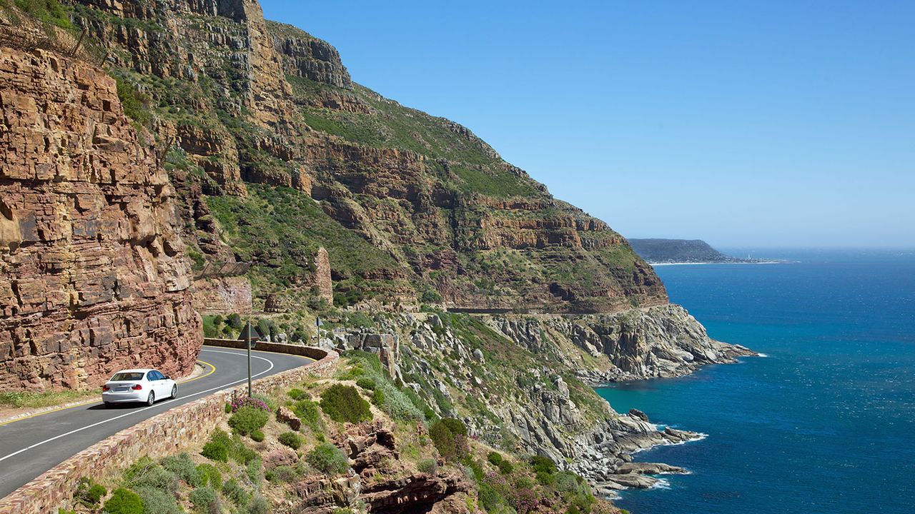
The confusion is understandable. Within a single reserve at the end of the Cape Peninsula you have Cape Point (the high, dramatic lighthouse promontory) and the Cape of Good Hope (the famous rocky headland with the sign). They look and feel like the end of the world. But the actual southernmost tip of the African continent, and the officially recognised meeting point of the two great oceans, lies about 150 kilometres to the east-south-east at a low, wind-scoured headland called Cape Agulhas.
This guide clears up the three-cape confusion for good — which is which, where the oceans really divide, how far each is from Cape Town, what they cost in 2026, and whether it is worth making the run south to stand on the true tip of Africa. For the two Peninsula headlands in fine detail, pair this with our companion piece on Cape Point vs the Cape of Good Hope; for everything about the tip itself, see our full Cape Agulhas travel guide.
The Three-Cape Confusion — Which Is Which
Before we compare, let us name the three places clearly, because they are constantly mixed up:
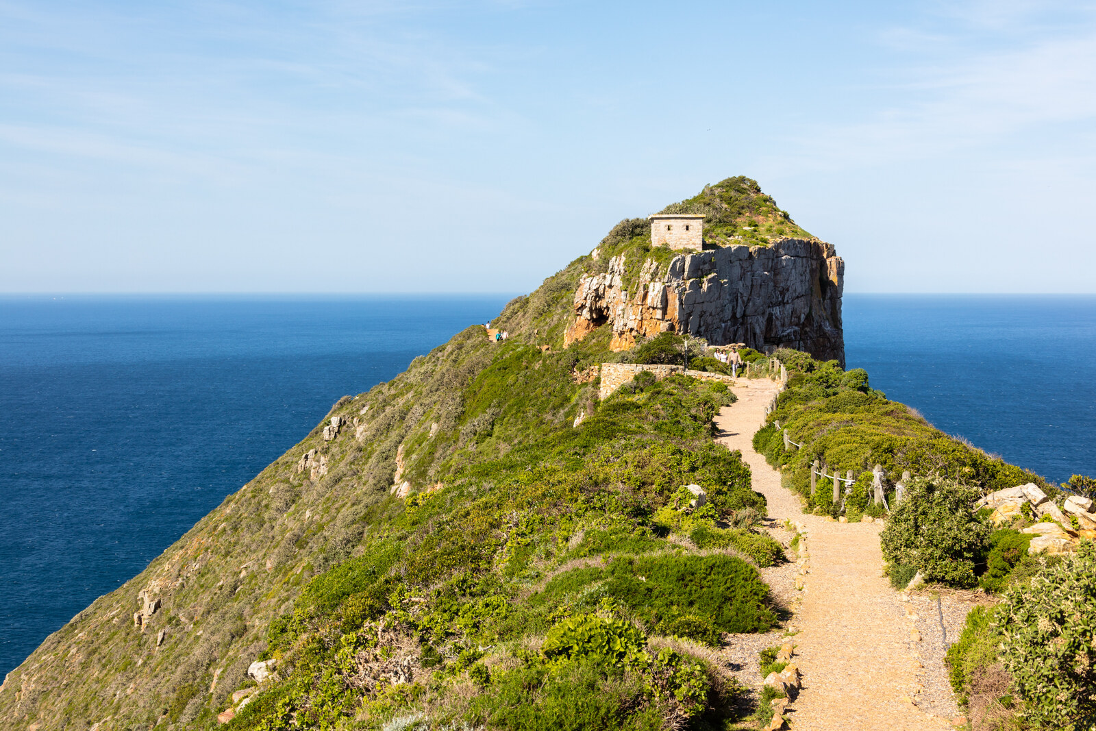
- Cape Point — a dramatic high-cliff promontory with two lighthouses at the tip of the Cape Peninsula, about 60 km south of Cape Town. Spectacular, but not the southernmost point of Africa and not where the oceans meet.
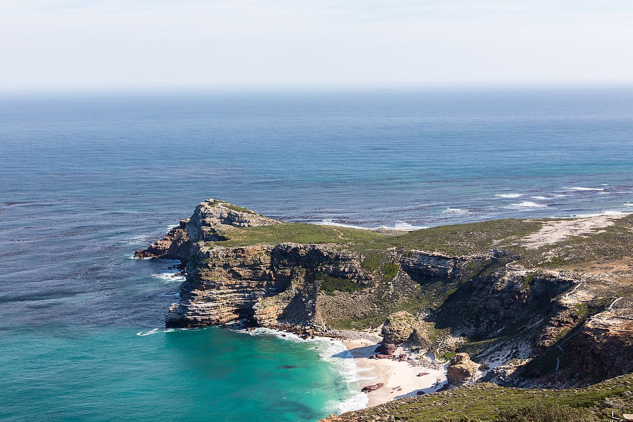
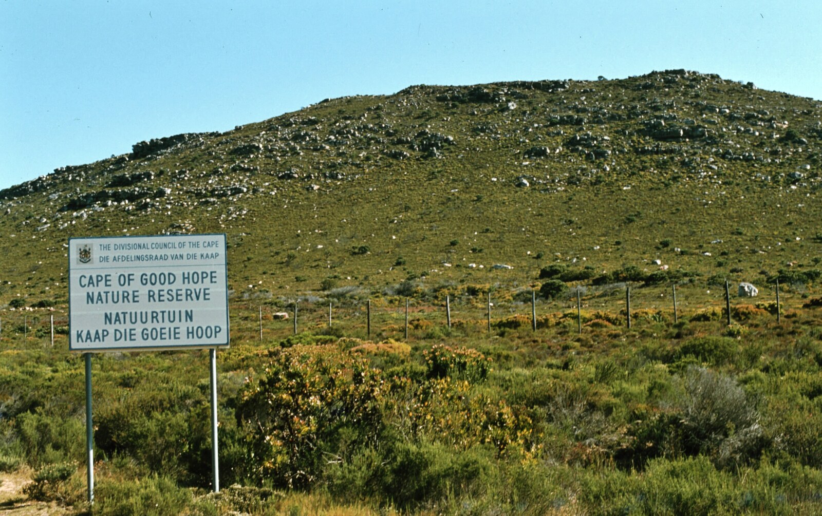
- The Cape of Good Hope — the most south-western point of Africa, a low rocky headland barely two kilometres from Cape Point inside the same reserve (the Cape of Good Hope section of Table Mountain National Park). This is the headland Bartolomeu Dias rounded in 1488.
- Cape Agulhas — the true southernmost point of the African continent, roughly 150 km east-south-east of the Peninsula in the Overberg region, and the officially recognised dividing line between the Atlantic and Indian Oceans.
In short: two of the three (Cape Point and the Cape of Good Hope) are neighbours on the Peninsula, quick to reach from the city. The third — Cape Agulhas, the one that actually holds the "southernmost" and "two oceans" titles — is a separate journey altogether.
The Cape of Good Hope — The South-Western Tip
The Cape of Good Hope is the great headland of legend. In 1488 the Portuguese navigator Bartolomeu Dias became the first European to round it, opening the sea route to the East; it was later renamed the "Cape of Good Hope" for the promise of that passage to India. Today it sits within the Cape of Good Hope section of Table Mountain National Park, at the wild southern end of the Cape Peninsula.
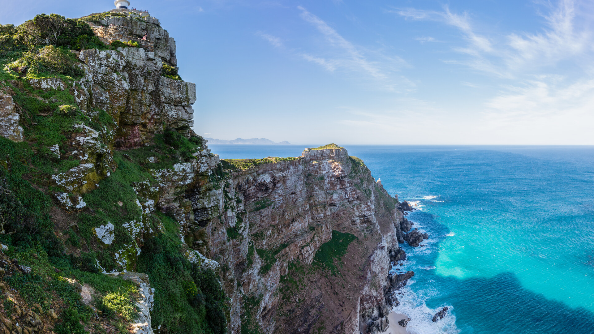
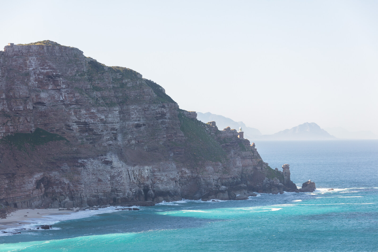
It is the most south-western point of the African continent — a distinction people constantly confuse with "southernmost." The reserve is a place of windswept fynbos, surf beaches, bontebok, eland, ostrich, Cape mountain zebra and the notorious food-raiding baboons. Right beside it rises Cape Point, the higher promontory with its old 1860 lighthouse and the Flying Dutchman Funicular, offering the sweeping ocean views most visitors picture when they think of "the tip."
Crucially, both are close to the city — roughly an hour to ninety minutes' drive — which is exactly why they are woven into almost every Cape Town itinerary, and why they attract the "southernmost point" and "two oceans" myths in the first place. If you want the two Peninsula headlands compared in depth, our Cape Point vs Cape of Good Hope guide covers the fees, the funicular and the one-day route.
Cape Agulhas — The Real Southernmost Tip of Africa
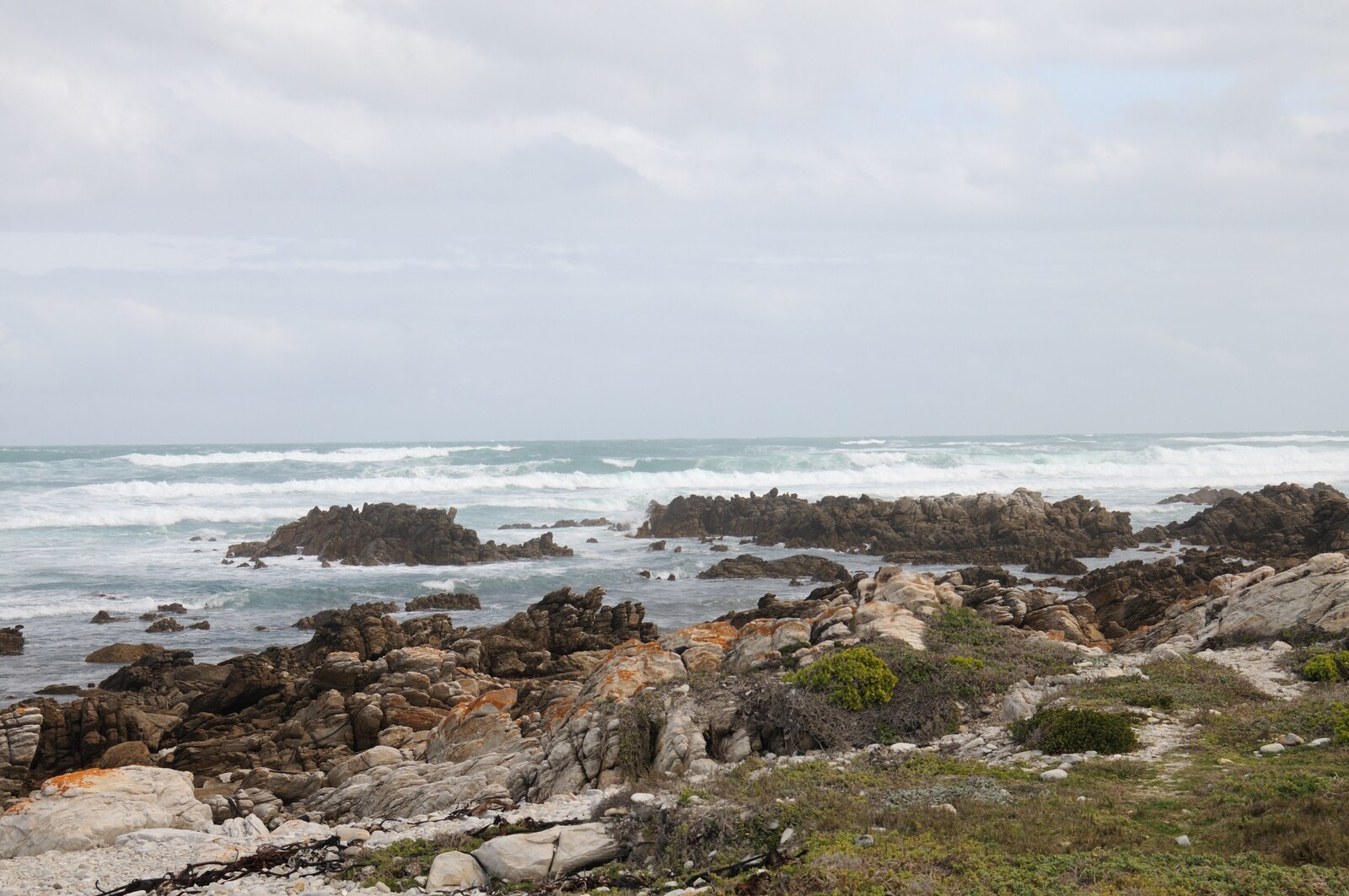
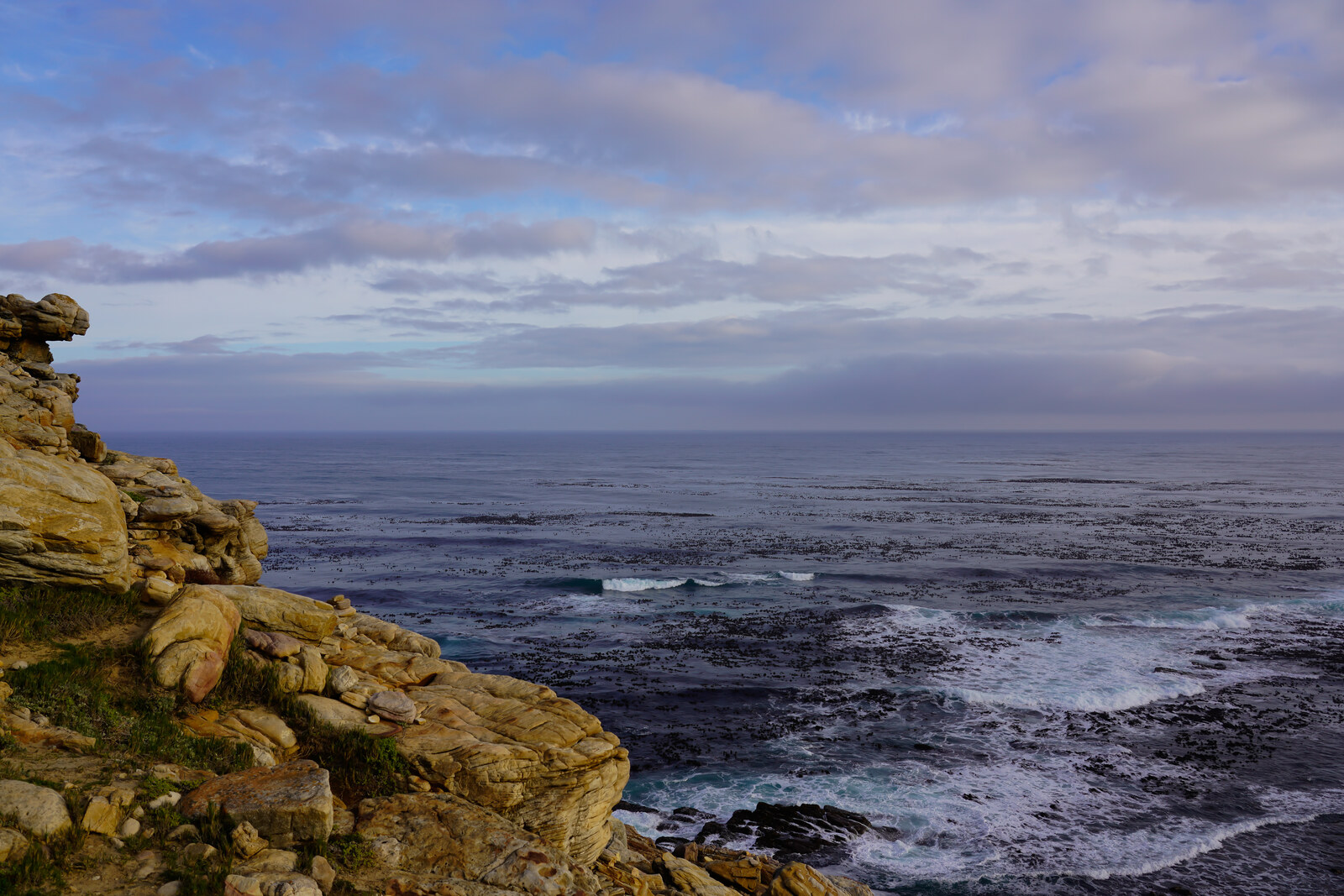
Cape Agulhas is the genuine article: the southernmost point of the African continent, sitting at roughly 34°49′58″ South near the village of L'Agulhas in the Overberg. There is no soaring cliff here — the drama is the opposite. It is a low, flat, rock-strewn headland where the land simply runs out of Africa and dissolves into a shallow, reef-scattered sea. The name comes from the Portuguese Cabo das Agulhas — "Cape of Needles" — because early navigators found their compass needles pointing to true north here with no magnetic deviation, and because of the needle-sharp reefs that snag ships.
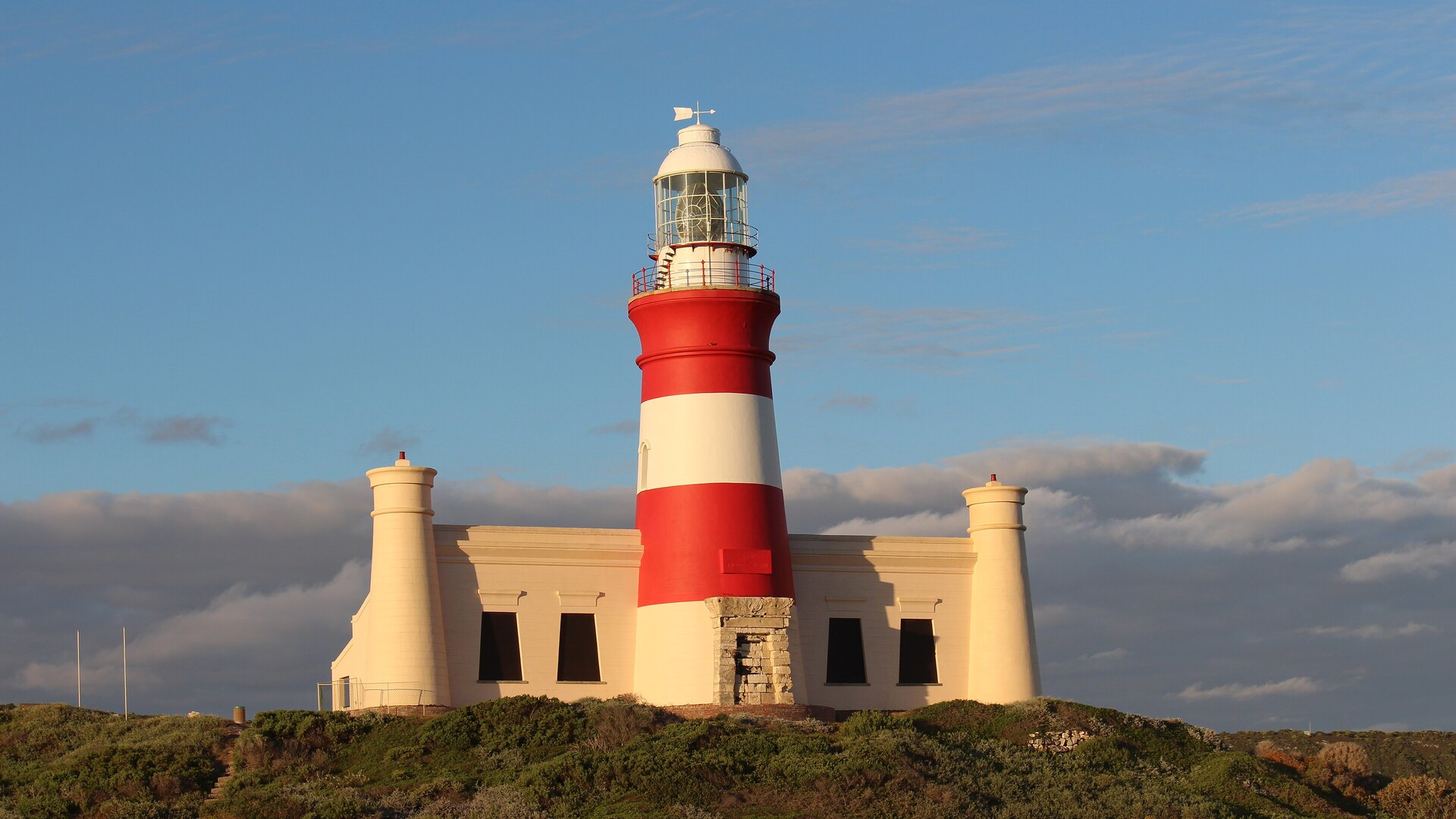
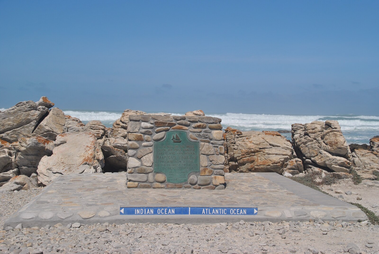
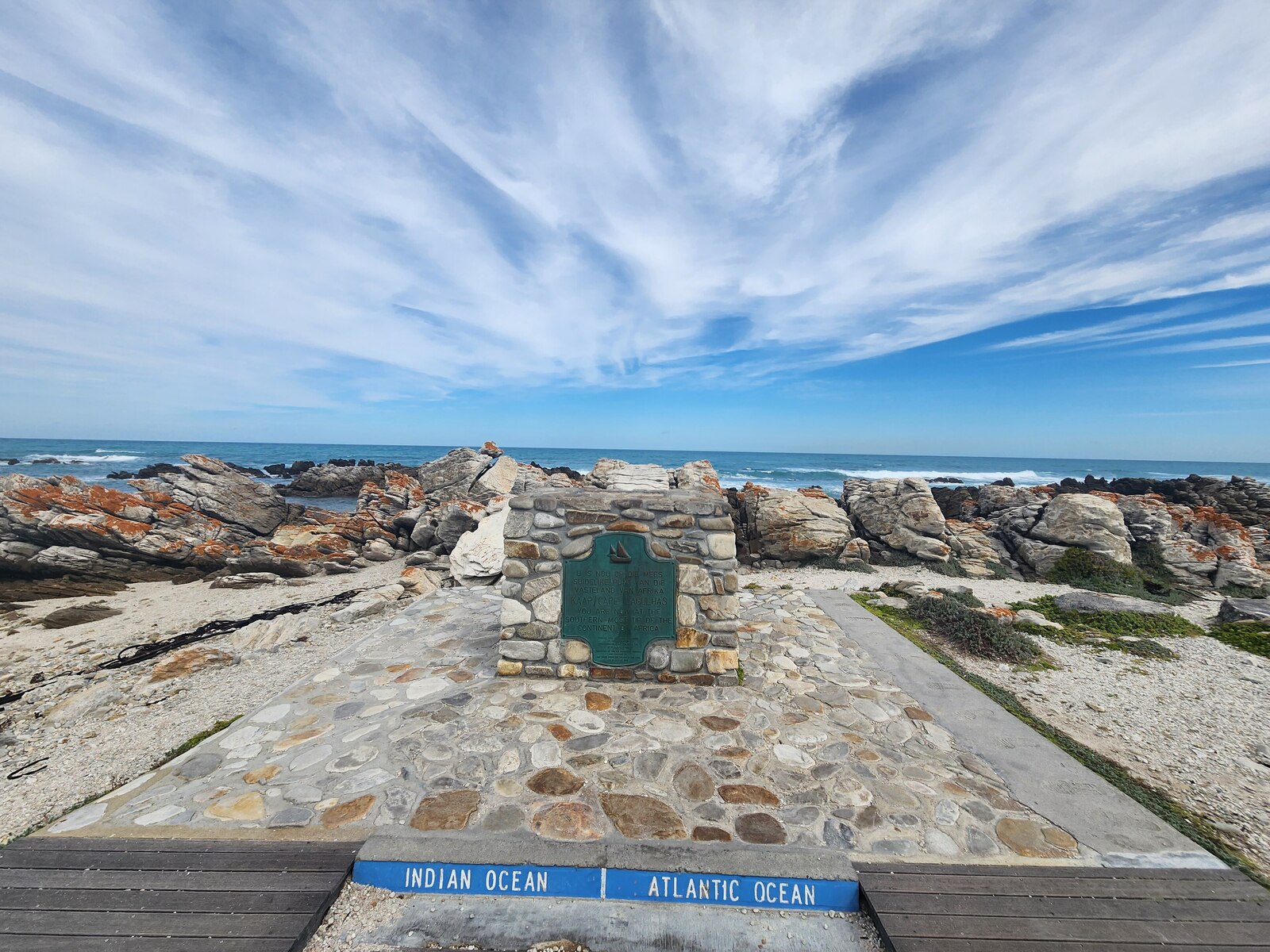
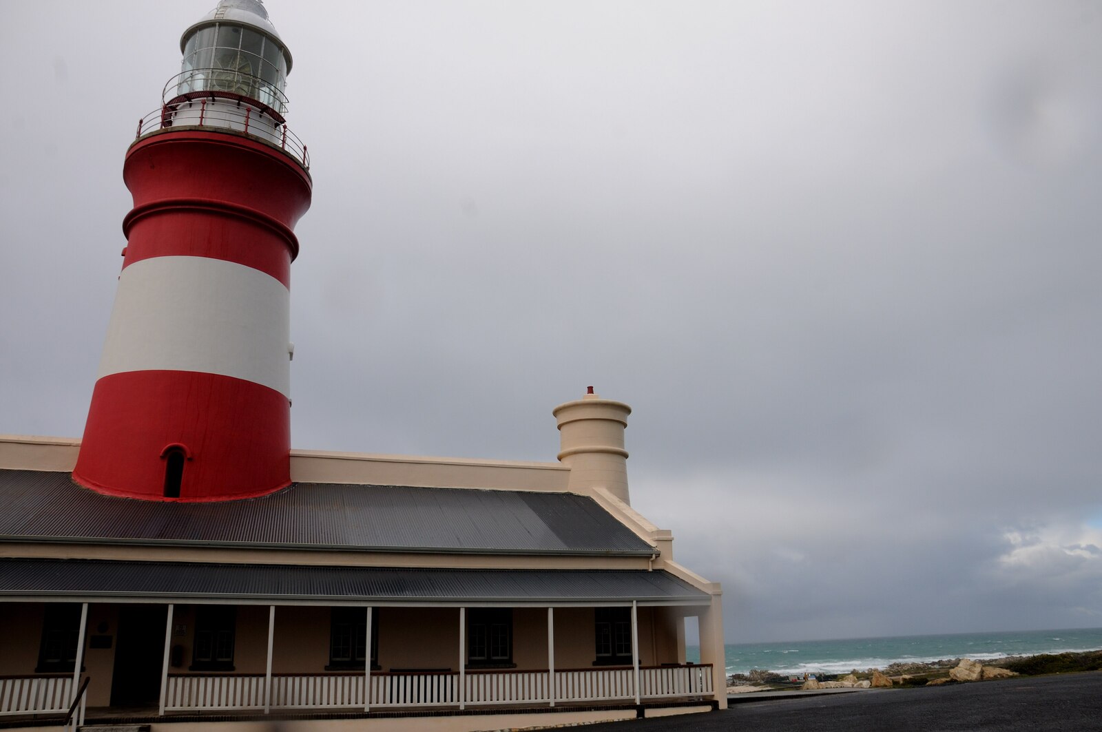
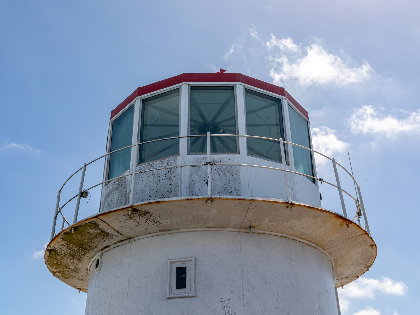
The tip is marked by two things every visitor comes for: the official monument (a stone cairn and a plaque, with a newer relief-map sculpture of Africa alongside) declaring this the southernmost point, and the Atlantic/Indian Ocean marker with its "Indian Ocean / Atlantic Ocean" arrows. Above the village stands the striped Cape Agulhas Lighthouse, commissioned in 1849 and the second-oldest working lighthouse in South Africa, now home to a small museum you can climb. Around it spreads Agulhas National Park, protecting rare lowland fynbos, wetlands and the notorious shipwreck coast.
Where the Peninsula gives you height and crowds, Agulhas gives you space, wind, silence and a genuine "edge of a continent" feeling. It is also further — which is the whole point of this comparison. Everything about visiting the tip is covered in our dedicated Cape Agulhas guide.
Where the Atlantic and Indian Oceans Really Meet
This is the myth worth busting properly. The idea that you can stand at Cape Point and watch two differently coloured oceans crash together is one of tourism's most enduring tall tales. The reality:
- The official boundary is at Cape Agulhas. By the internationally used convention, the line dividing the Atlantic and Indian Oceans runs due south along the 20° East meridian, which passes almost exactly through Cape Agulhas. That is why the tip carries the ocean marker — it is the recognised meeting point.
- Oceans do not "collide" in a visible line anywhere. What people sometimes see off the Cape is the mingling of two currents — the cold Atlantic Benguela current and the warm Agulhas current — whose shifting boundary can create colour and temperature differences and choppy water. But that is a fluid, moving zone, not a fixed line you can photograph.
- Cape Point is neither. It is a spectacular headland on the Peninsula, but it is not the ocean boundary and not the southern tip. The "two oceans meet here" line you hear at Cape Point is geography folklore, not fact.
So if standing on the exact spot where the maps divide the Atlantic from the Indian matters to you, Agulhas is the only place that delivers it — plaque, marker and all.
Cape of Good Hope vs Cape Agulhas — Side by Side
Here is the at-a-glance comparison most guides never give you. "Cape Peninsula" below covers Cape Point and the Cape of Good Hope together, since they share one reserve and one ticket.
| Cape Peninsula (Cape Point & Cape of Good Hope) | Cape Agulhas | |
|---|---|---|
| Claim to fame | South-western tip of Africa; dramatic cliffs | True southernmost tip of Africa; oceans' meeting point |
| Distance from Cape Town | ~60–70 km | ~200–225 km |
| Drive time (one way) | ~1–1.5 hours | ~2.5–3 hours |
| Landscape | High rocky cliffs, promontory, surf beaches | Low, flat rock shelf; wide fynbos plains; shipwreck coast |
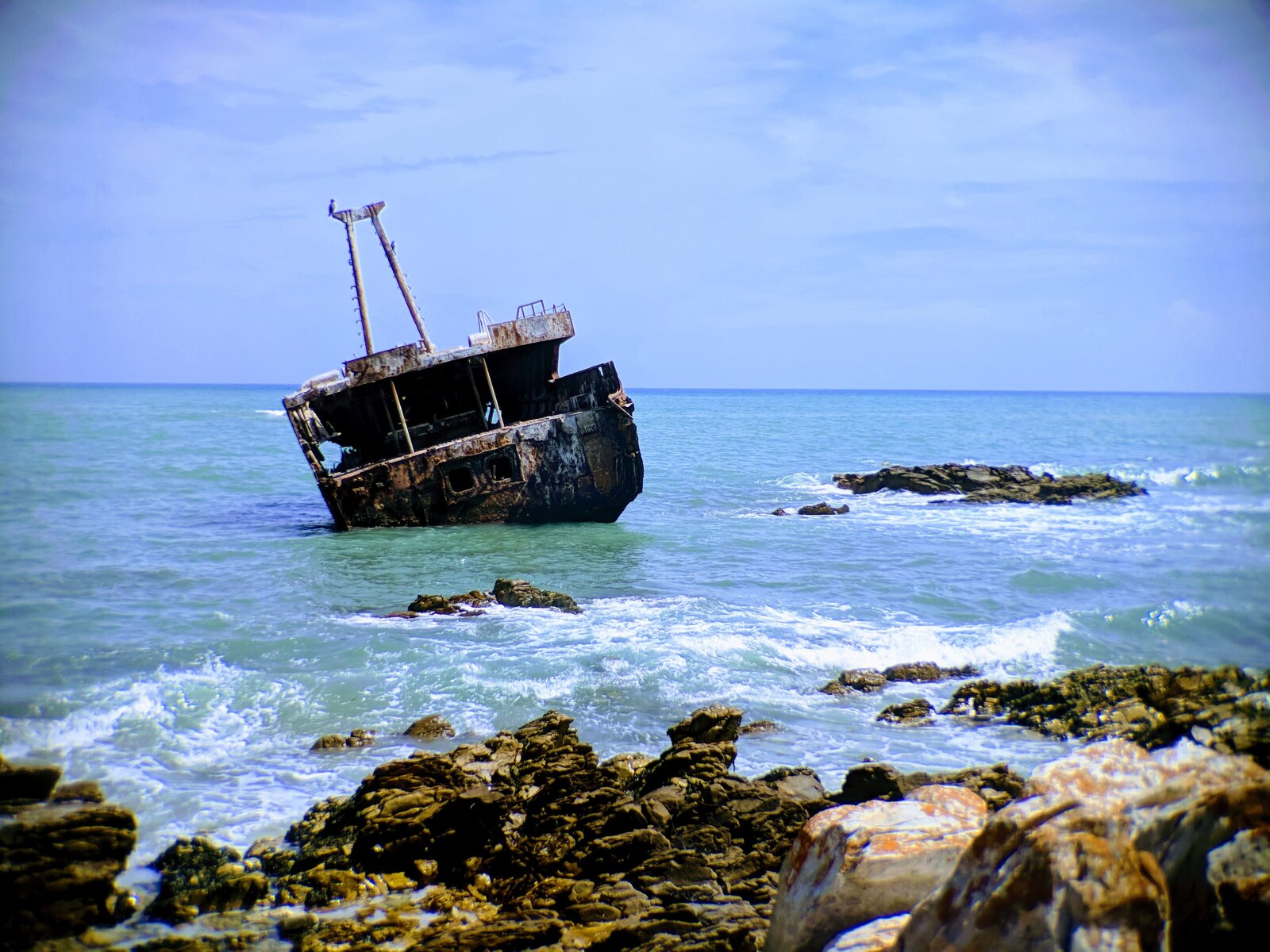
| Signature sights | Cape Point lighthouses, funicular, Cape of Good Hope sign, Dias Beach | Southernmost monument, ocean marker, 1849 lighthouse, Meisho Maru wreck |
| Wildlife | Bontebok, eland, ostrich, zebra, baboons; whales offshore | Rich birdlife, fynbos, tidal life; whales (Jun–Nov) along the coast |
| Crowds | Busy — tour buses daily, especially midday | Quiet — far fewer visitors, unhurried |
| Time needed | Half to full day within a Peninsula loop | Full day return, or an overnight to enjoy it properly |
| Best for | First-timers, big views, easy day from the city | The "real tip" bragging rights, solitude, Overberg road trip |
Can You Visit Both Cape of Good Hope and Cape Agulhas?
Yes — and many travellers do. Because they are about 150 km apart, you simply cannot see them in the same outing, but there are two natural ways to combine them:
Option 1 — Two separate days from Cape Town
Do the Cape Peninsula as one classic day (Chapman's Peak, Cape Point, the Cape of Good Hope, Boulders penguins, the harbour villages), and dedicate a separate day to the run down to Cape Agulhas. This keeps each day relaxed and is ideal if you are based in the city.
Option 2 — Fold Agulhas into a Whale Coast / Garden Route loop
If you are heading east anyway, Cape Agulhas sits neatly on an Overberg and Whale Coast route — Hermanus for whales, Gansbaai, the wheatlands around Bredasdorp, the tip itself, then De Hoop Nature Reserve and onward toward the Garden Route. This turns the "detour" into one of the most scenic drives in the country. For the coastal-versus-inland decision on that stretch, see Garden Route vs Whale Route.
Either way, a private guide handles the distances, the timing and the light so the day never feels like a slog. Our Cape Peninsula tour guide and Cape of Good Hope tour cover the Peninsula side in detail.
Best Time, 2026 Costs & How to Visit the Real Tip
Best time to go
Cape Agulhas is a year-round destination, but the sweet spots are the shoulder seasons. Spring (September–November) brings wildflowers to the fynbos and the tail of the whale season (roughly June to November), when southern right whales cruise the Overberg coast. Autumn (March–May) is calm and mild. Summer is warm but often very windy — this is one of the windiest corners of South Africa — while winter is cooler with dramatic storm-lit seas. For the wider picture, see the best time to visit South Africa and Cape whale-watching season.
2026 costs at a glance
| What | Approx. 2026 cost |
|---|---|
| Agulhas National Park conservation fee | Nominal daily fee (SANParks; confirm current rate) |
| Cape Agulhas Lighthouse & museum (to climb) | ~R30–R60 per adult |
| The southernmost monument & ocean marker | Free to visit |
| Fuel, one long day from Cape Town (return) | ~R600–R900 depending on vehicle |
| Private guided day from Cape Town | From ~US$155 pp (group-size dependent) |
Fees are indicative for 2026 and reviewed periodically — always confirm on the day. The monument and marker are open-access; the lighthouse museum keeps its own hours.
Cape Agulhas is one of those places whose meaning outstrips its drama. There is no towering cliff, no funicular, no crowd — just the quiet, wind-carved certainty that you are standing on the last rock of Africa, with the Atlantic on one hand and the Indian on the other. The Cape of Good Hope will give you the postcard cliffs an hour from the city; Cape Agulhas gives you the title. See both, and you will understand the Cape better than 99% of visitors ever do.
Stand on the Real Tip of Africa
Beyond Africa Safaris runs private, tailor-made days to Cape Agulhas and the Cape Peninsula — the southernmost tip, the ocean marker, the 1849 lighthouse and the shipwreck coast, or the classic Cape Point loop, all at your own pace with fees and logistics handled.
Plan My Cape Trip Browse Cape Journeys WhatsApp UsBeyond Africa Safaris designs private, unhurried journeys across the Western Cape — from the cliffs of Cape Point to the true tip of Africa at Cape Agulhas and on into the Garden Route. We'll build the day around the weather, the tides and what you most want to see.