🦁 Key Takeaways — Mount Heha Hiking Guide
- Summit: 2,684 m (8,806 ft) — Burundi’s highest peak, in Bujumbura Rural Province, ~30 km SE of the city
- Difficulty: Moderate — 4–6 hour round-trip, ~700–900 m altitude gain, no technical climbing, green hillside terrain
- Best time: June–September (dry season, clear skies, firm trails) — December–January as secondary window
- Essential: Local guide (no marked trail), sturdy shoes, rain layer, packed lunch, 2+ litres water
- Summit views: 360° panorama — Rusizi Valley, Congo-Nile Divide mountains, and on clear days Lake Tanganyika
- How to book: Day excursion from Bujumbura with Beyond Africa Safaris — guide, transport, packed lunch included
Mount Heha — Burundi’s Rooftop
Every country has a highest point. Some are famous — Kilimanjaro, Everest, Mont Blanc. Others are obscure, unvisited, known only to geographers and a handful of determined highpointers who collect summits like stamps. Mount Heha, at 2,684 metres above sea level, is firmly in the second category. It is Burundi’s rooftop, and almost no international traveller has stood on it.
That obscurity is part of its appeal. Heha is not a mountaineering challenge — there are no ropes, no glaciers, no altitude sickness. It is a green highland walk through some of the most beautiful rural landscape in East Africa: terraced hillsides, small farms, meadows of waist-high grass, patches of montane forest where colobus monkeys crash through the canopy, and a summit ridge where the wind drops and the world opens up in every direction.
The mountain sits in Bujumbura Rural Province, approximately 30 kilometres south-east of the capital and about 20 kilometres east of Lake Tanganyika. It is comfortably doable as a day trip from Bujumbura — drive out in the early morning, hike to the summit and back, and return to your hotel in time for a late lunch and a swim in the pool. For the traveller who has already seen the parks, the drums and the lake, Heha adds a dimension that few Burundi itineraries include: altitude, exertion and a summit that belongs to you.
Getting to the Trailhead
The drive from central Bujumbura to the Mount Heha trailhead takes approximately 45–60 minutes depending on road conditions and the exact access point used. The route heads south-east from the city, climbing out of the Rusizi Valley floor through increasingly rural terrain — banana groves, coffee bushes, red-earth lanes flanked by eucalyptus, and small villages where children wave from doorways.
The last section of road is unpaved and may require a 4x4 during the wet season. In the dry season, a good sedan can reach the common trailhead, but your driver-guide will know the current conditions and the best approach point.
There is no entrance gate, no ticket office, no signposted car park. You park where the road allows, meet your local guide, and walk.
The Hike — Trail Description
Mount Heha is not a wilderness trail in the Kilimanjaro sense. The lower slopes are community farmland — you walk through fields of beans, maize and banana, past small homesteads where farmers may greet you in Kirundi, along red-earth paths that local people use daily. This is hiking through a living landscape, not through a fenced park, and it is one of the genuinely special things about the experience.
As you gain altitude, the farmland gives way to highland meadow and patches of montane forest. The grass grows taller, the air cooler, and the sounds of village life fade into birdsong and wind. If your guide is good (and ours are), they will point out medicinal plants, explain land-use patterns, and pause at viewpoints where the valley below opens up.
The upper section steepens. The final approach to the summit ridge involves some scrambling over rocks and through thick grass, but nothing that requires hands-and-feet climbing. The altitude gain from a typical trailhead is approximately 700–900 metres over 3–5 kilometres, depending on which approach your guide chooses.
Total hiking time: 4–6 hours round-trip for a fit walker at a comfortable pace, including stops for photographs and conversation.
The Summit Panorama
The summit of Mount Heha is a modest affair — no dramatic peak, no iron cross, no visitors’ book. What it does have is silence and space. You stand on the highest ground in Burundi and look out in every direction:
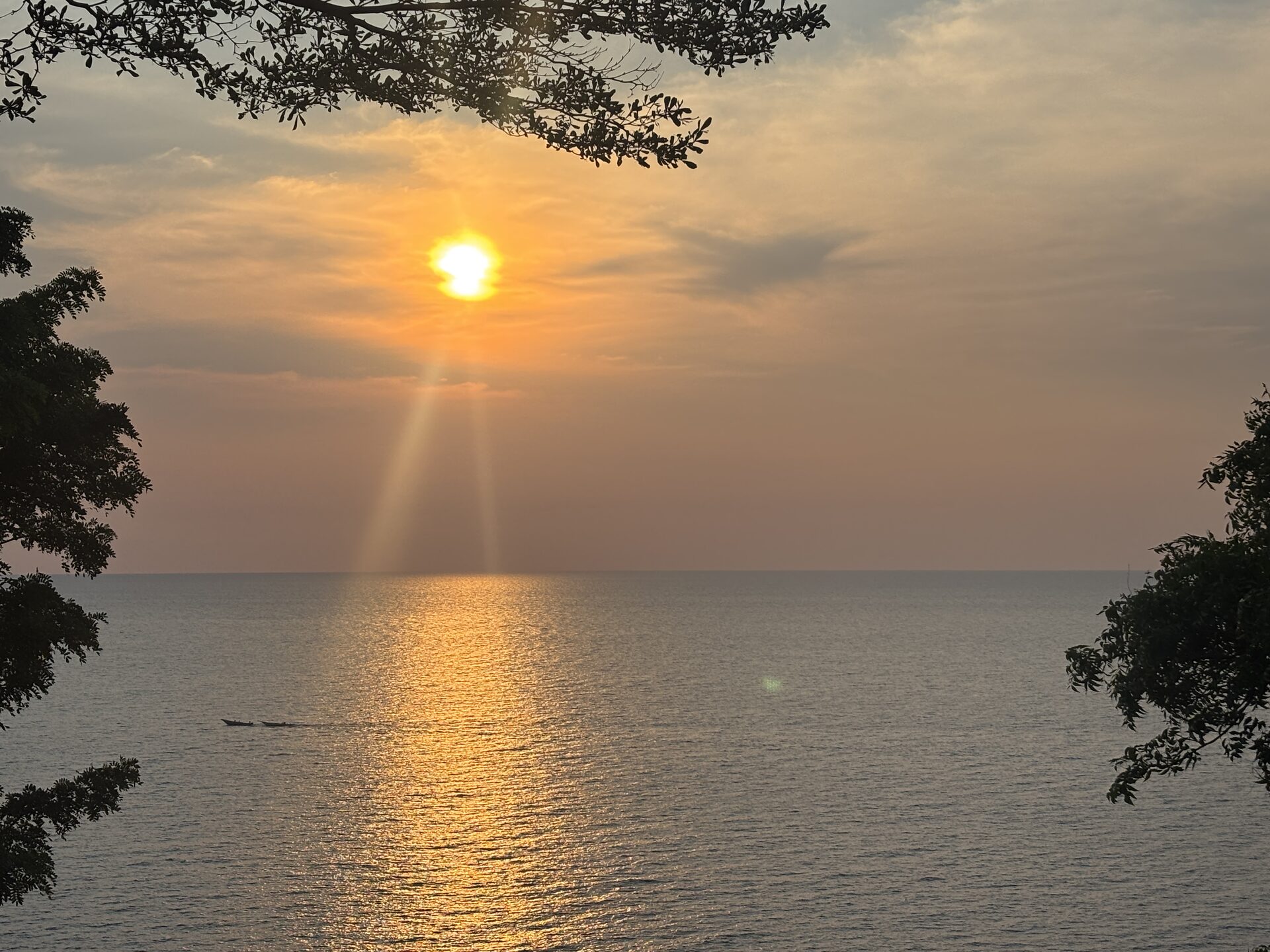
- West: The Rusizi Valley drops away, a flat green corridor between the mountains, and on clear days you can see Lake Tanganyika shimmering roughly 20 km away
- North: The highlands roll toward Gitega (Burundi’s political capital) and the Congo-Nile Divide
- East & South: Ridge after ridge of green hills stretching toward the Tanzanian and Congolese borders
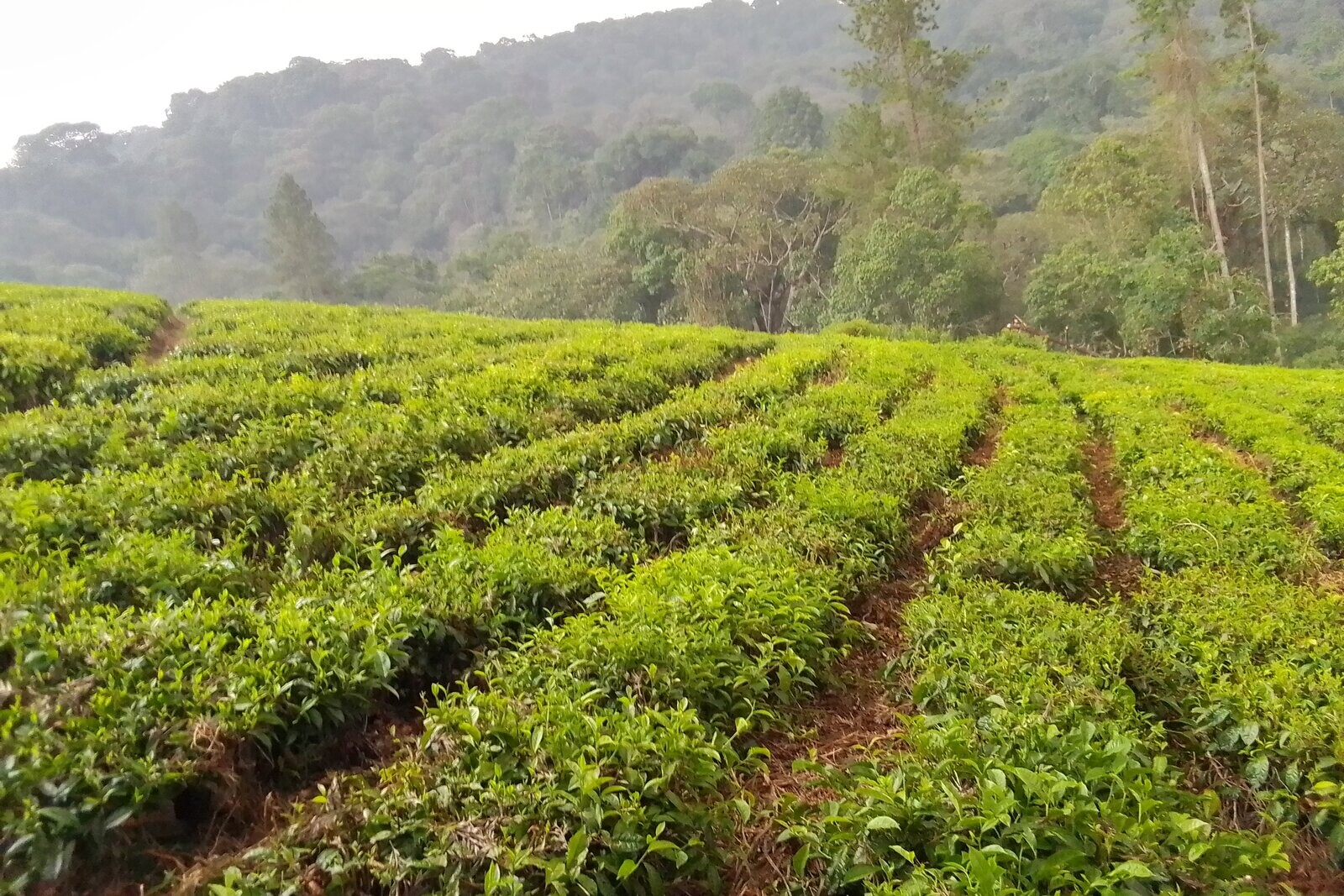
- Everywhere: A patchwork of small farms, forest fragments, tea plantations and red-earth paths — Burundi from above
If the cloud lifts (mornings in the dry season are best), the panorama is extraordinary. If cloud rolls in (not uncommon by midday), you get a different kind of beauty — the mountain emerging from mist, the sense of being above the world in a country that few have seen from this angle.
What to Bring
| Item | Notes |
|---|---|
| Sturdy walking shoes | Trail shoes or light hiking boots; ankle support recommended for the rocky upper section |
| Rain layer | Even in the dry season, mountain weather can change; a lightweight waterproof is essential |
| Water | Minimum 2 litres; there is no water source on the trail |
| Packed lunch/snacks | Your hotel or our team will prepare; there are no shops or vendors on the mountain |
| Sun protection | Hat, sunscreen, sunglasses — the equatorial sun is intense at altitude |
| Camera | The views deserve it; a wide-angle lens captures the panorama |
| Long trousers | Tall grass on the upper slopes; protects against scratches and ticks |
| Small daypack | 20–25 litres is sufficient for a day hike |
Why a Local Guide Is Essential
Mount Heha has no marked trail, no signposts and no ranger station. The route to the summit follows community paths, farm tracks and open hillside that only someone who knows the mountain can navigate reliably. Going without a guide is not dangerous in the life-threatening sense, but you will almost certainly take wrong turns, spend hours longer than necessary, and potentially enter areas where your presence is unexpected and unwelcome.
A good local guide does far more than navigate. They introduce you to the community, explain the farming and cultural landscape, identify birds and plants, and create the social context that turns a hill walk into a genuine cultural encounter. Many of our guides grew up on the lower slopes of Heha — they know the mountain the way you know your neighbourhood.
Wildlife & Birdlife
Mount Heha is not a wildlife destination in the safari sense. What it offers is highland biodiversity at the quieter end of the spectrum:
- Black-and-white colobus monkeys in remaining forest patches on the mid-slopes
- Occasionally blue monkeys in denser vegetation
- Endemic and montane birds — mountain greenbuls, sunbirds, weavers and raptors riding the thermals above the summit ridge
- Butterflies in profusion during the wet-to-dry transition months
Birders with time and patience will find the highland avifauna rewarding, particularly in forest edges and meadow margins. But come for the landscape, the altitude and the cultural immersion — any wildlife is a bonus.
Cultural Village Engagement
One of the most memorable aspects of a Mount Heha hike is the cultural interaction on the lower slopes. The communities here are Kirundi-speaking farming families who cultivate beans, banana, maize and coffee on steep terraces with centuries-old technique. Your guide will facilitate introductions, and the welcome is almost always warm and curious — international hikers are rare enough to be a novelty.
If time allows, a visit to a local homestead to see traditional cooking, coffee processing or banana-beer preparation adds an hour or two to the day and leaves a far deeper impression than the summit view alone. This is travel at its most human, and it is the kind of experience that Burundi does better than anywhere.
Practical Information
| Detail | Info |
|---|---|
| Elevation | 2,684 m (8,806 ft) — highest point in Burundi |
| Location | Bujumbura Rural Province, ~30 km SE of Bujumbura, ~20 km E of Lake Tanganyika |
| Drive from Bujumbura | 45–60 minutes to trailhead |
| Hike time | 4–6 hours round-trip (summit express) |
| Difficulty | Moderate — no technical climbing; reasonable fitness required |
| Best season | June–September (dry); December–January (short dry) |
| Guide | Local guide essential (arranged by your operator) |
| Entrance fee | No formal entrance fee; guide tip and small community contribution expected |
Safety & Advisories
Mount Heha is a safe hike when done with a local guide and proper preparation. Key considerations:
- Weather: Mountain weather changes quickly; carry a rain layer even in the dry season
- Sun: Equatorial UV is intense at altitude; sunscreen, hat and sunglasses essential
- Hydration: No water sources on the trail; carry at least 2 litres
- Community: You are walking through occupied farmland; respect boundaries, ask before photographing people, and follow your guide’s lead on interactions
- Health: Yellow fever certificate required for Burundi; malaria prophylaxis recommended even at altitude
Frequently Asked Questions
How high is Mount Heha?
2,684 metres (8,806 feet) — the highest point in Burundi.
Can I do it as a day trip from Bujumbura?
Yes. With an early start, the 45–60 minute drive plus 4–6 hour round-trip hike comfortably fits into a single day.
Do I need a guide?
Absolutely. No marked trails exist. A local guide navigates, introduces you to communities and makes the hike meaningful.
When is the best time to hike?
June–September (dry season) for clear skies and firm trails. December–January is a secondary window.
Is it difficult?
Moderate. ~700–900 m altitude gain, no technical climbing. Reasonable fitness needed for the 4–6 hour round-trip.
What will I see from the summit?
360° panorama: Rusizi Valley, Congo-Nile Divide mountains, highland patchwork, and on clear days Lake Tanganyika.
Any wildlife?
Colobus monkeys in forest patches, endemic montane birds, butterflies. Not a safari destination but rewarding for naturalists.
Can Beyond Africa Safaris arrange it?
Yes — as a day excursion from Bujumbura with local guide, private transport and packed lunch.